Geotagging is adding geographical information to a picture (or video, or whatever) so one knows where a picture was taken. Most people don’t care about doing this, or it is automatically done for them. If you are part of the (approx.) 153.7% of earthlings that use a smart phone to take vacation pictures, then this information will often be automatically embedded in your picture files for you. No muss, no fuss.
I, on the other hand, am an idiot, and like to do things the dumb way. So sit for a spell and waste some time reading about how you can fritter away entire weekends on dumb things.
Technobabble: I’m going to use the term GPS (global positioning system) instead of GNSS (global navigation satellite system) because I’m lazy, and most people don’t know what GNSS is. GPS is actually the American satellite system for geolocation, while GNSS is the generic term for it. Other GNSS include GLONASS from Russia, Galileo from the EU, and BeiDou from China.
Also, the programs and settings I describe below are based on Apple computers and phones, but similar programs exist for Windows and Android as well.
What Is This Again?
Geotagging is embedding geographical information into a file’s metadata. Metadata is extra information that can be added to a picture. For example, metadata can contain shutter speed, aperture, and focal length when taking pictures. Geotagging will add longitudinal and lateral coordinates, altitude, and even speed and bearing in some cases.

Some metadata information
Why Bother?
So why geotag? For me, I just like knowing where I was (“Oh, that’s where we were”) or winning bets (“See, I told you we were there!”), and maybe to brag a bit (“Look where we were!”).
My secret reason is to find out where I went on road trips from old pictures that I’ve scanned. This is where it takes the most time because it can require quite a bit of detective work, as I explain below.
In my examples, I was able to find out where I drove in Yellowstone National Park way back in 1995.


Did not encounter any bears trying to steal picnic baskets.
Also, I see there aren’t that many roads, but I was lost for a while so I had no clue where I was.
I used Road Trip Planner to re-create my route from 1995
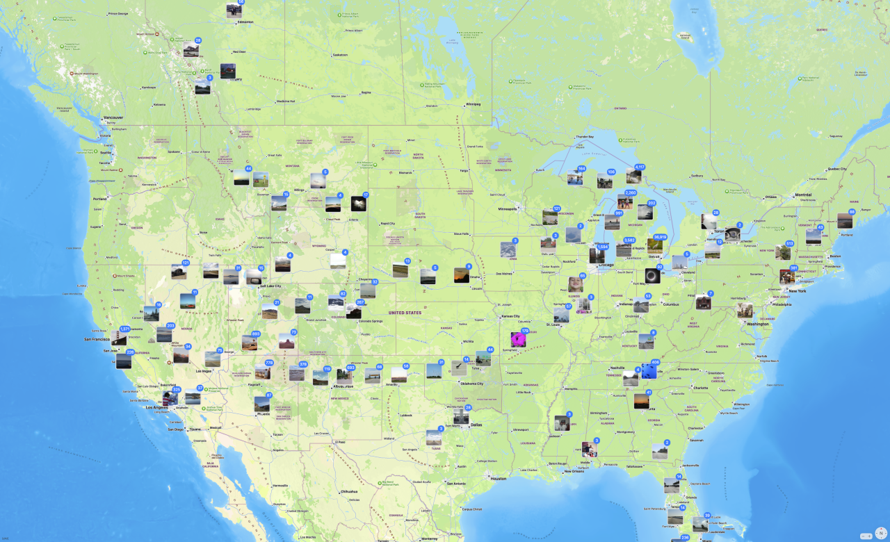
Geotagging can also make searching for photos more convenient. If you have thousands of photos, it may be easier to find the picture where you sat on the four corners of Utah, Colorado, Arizona, and New Mexico by zooming in on that location with your photo organizer of choice.
If you’re the kind of person that puts pins on a map of where you’ve been, you might like geotagging.
Is it fun? Well…
How Do You Geotag?
The easiest way is to send all of your pictures to TikToker/YouTuber and geoguesser extraordinaire Rainbolt and convince him to tell you where they were taken.
The second would be to just use your smart phone and enable geolocation for your photos. For example, on an iPhone, go to Settings > Privacy & Security > Location Services and enable Location Services. I’m sure there’s a similar setting on Android, but I don’t have one to try.

What if you prefer shooting with a digital camera instead of a phone? Well, some cameras actually have GPS built-in. I bought a couple of old Nikons, the Coolpix P650 and P900 just for this feature (OK—and also for their crazy zoom lenses).

The satellite symbol on top indicates this P900 has GPS capabilities
Another possibility is to add a GPS device directly to a camera. You can do this with cameras from Canon and Nikon, for example. Canon sells a GPS device, the GP-E2, for $390. It attaches to the hotshot of one of their DSLR or mirrorless camera and automatically embeds the GPS information as you take a picture. There are 3rd party devices, like Solmeta GMAX-EOS2 that does the same thing for $230.1
I’ve used both on my Canon EOS RP and EOS R6 MkII. My Canon 60D DSLR was too old to use those, but the 5D MkIII and 7D could use it, if I remember correctly.
Both work reasonably well with comparable performance. The Canon uses a single AA battery, while the Solmeta is rechargeable through a proprietary USB connector (I’m not a fan of proprietary connectors). Both can also record GPS tracks internally. The Canon can log at 1 second intervals for approximately 39 hours (other rates are possible). The Solmeta records only at 1 second intervals and has 4 MB of memory. I don’t know know long that translates to.
Because GPS devices get very accurate time from the GPS satellites, they can also stamp an accurate time on your photos.
Finally, for some cameras, both the Canon and the Solmeta can include the heading information in the picture so you know which direction you were pointing the camera in addition to your location. Unfortunately, none of my cameras support this feature.

Canon GP-E2 vs Solmeta GMAX-EOS
The only issue I’ve run into is that these devices go to sleep to conserve battery life under certain conditions. When you try to take a picture right after they wake up, they may not have the right time and location information right away. This incorrect information will then be embedded into your image, which is annoying. So make sure they are awake and updated before snapping pics.
One note about using any GPS device. It may take up to a minute for it to find its position on Earth after first turning on (cold start) as it acquires data from the satellites. Those transmission rates are slow, and satellites are far away. It also needs information from at least 4 satellites to resolve its position.
It will acquire its position much faster when waking from sleep (warm start), however, as some information might be retained.
Also, having a clear sky is very helpful. Clouds (weather), trees, buildings, mountains can interfere with these satellite signals, causing location error, or no location at all.
What about GPS-less Cameras?
What if you have a non-GPS digital camera? Well, there are a few possibilities here.
One is to let Google do it for you. A friend told me that Google geotagged his vacation photos automatically. He thinks that after he uploaded his images to Google Photos from his digital camera, Google used the location tracking information from his Android phone and based on the time and location, geotagged his photos (without asking). If you’re okay with the convenience / creepiness ratio of this “feature,” it could be a cheap and easy way to do it.
My preferred method is to use some type of consumer GPS logger. A GPS logger will record its location, altitude, and current time (at a minimum) at a certain rate, like every second (1 Hz).2 It will save this in its internal memory or on a memory card. Its recorded data can be extracted into different formats such as GPX, CSV, NMEA, KML, etc. Most software can use any format, but all the hip people use GPX apparently.
You can get a stand-alone GPS logger, or use an app for your phone or watch. Most can record at different rates, from every 10 seconds (0.1 Hz) to every 0.1 seconds (10 Hz), or based on distance travelled. I usually set it for every 1 second (1 Hz). This works for me whether I’m walking or driving.
My current favorite GPS logger is the Columbus P-10 Pro which is the only logger I currently know of that uses the L5 satellite signals3. Almost all other GPS devices use the traditional L1 signals.
The advantage of L5 is that it’s a more robust signal with greater accuracy, down to say ±1 meter, while traditional L1 devices have an error in the order of up to a few meters. With that said, it doesn’t mean an L1 device will always be a few meters away from an L5 device. Under good conditions, they make track on top of each other, but in general, and L5 device is more accurate (and more expensive) than a corresponding L1 device.

Columbus GPS loggers— red: P-10 Pro (L5) / blue: P-1 (L1)
Clear weather, both loggers on the dashboard

There isn’t much difference between the two in general, but the L5 logger is 1-2 meters more accurate in some cases. Buy loggers according to your needs and budget.
If you use a GPS logger, you have to make sure your camera’s internal clock is as accurate as possible. Or not. It’s up to you to decide how much accuracy you want. Most cameras today have an app that lets the camera’s time sync to your phone’s.
Once you have a GPS log of where you were, and time-stamped pictures from there, you can use software to merge the two together. I use two macOS programs for this, PhotoLinker and HoudahGeo. PhotoLinker is my favorite, but it hasn’t been updated in years, so I’ve been using HoudahGeo more often. Many of the GPS loggers come with their own program, or have a recommended program.
(One Windows geotagging program that was recommended to me was GeoSetter.)

Using these programs are usually straight forward. You give it your pictures and GPS logs, and it will match them together quickly. It stores them as metadata in various file types: JPEG, HEIC, RAW, PNG, TIF, and others.
Fancier programs will even use the location information from the GPS coordinates and add the name of the city or park or locale where the picture was taken (“reverse Geocoding”). Or you can add your own custom information.
One issue I’ve run into is time zones. If you drive across the country, for example, you might have to play around with the time zones in both your camera and the GPS logger if you want your pictures to have the local time. Most geotagging software will let you do this, but it might take some fiddling around until you get it right. If you don’t account for time zones, all of your photos might be shifted by say an hour. In other words, the location embedded into the photos might be where you were an hour previously.
As a note, there are GPX editors or organizers that one can use to manipulate these log files. Sometimes I combine them, sometimes I split them depending on my needs. Some people move GPS points around if their GPS device has errors. This might be important if the geotagging software needs to interpolate between GPS points for your pictures. These editors often let you geotag your photos as well.
You can also edit these manually, as GPX is just a text file with the GPS information in it.

What If I’m a Masochist?
What if you don’t have a fancy GPS logger to track your wanderings? How can you geotag pictures then? Ah… welcome to my kink. Have a seat.
I described this process twice already—once in 2010 for pictures in Wyoming, and once in 2020 for a picture in Italy. It involves manually geotagging a picture’s location. It’s easy if you know the location.
Knowing the location is the key here. If you don’t, then some investigation is necessary if you want the location to be accurate.
Basically, it comes down to using everything you’ve learned in school, detective books, CSI tv shows, and the entire internet. Add persistence and dumb luck, and you’ve got a winner.
My main tool is the browser-based Google Maps Street View. I also use the standalone Google Earth program. I use their views and images to match the setting of my pictures.
Once you find the location, you can use your geotagging software to manually input the coordinates. Most generally have a map you can use for the location to make it easier.
In the example of the bridge from Italy, I had no idea where the bridge was, nor the route we had taken to go over it. I had some guesses so I looked at YouTube videos of people driving on the possible autostradas to find it, but what I didn’t realize was that the bridge was replaced in 2009, while my picture was taken in 1999. My breakthrough was googling for double decker bridges in Italy, which led me to a 1988 article which led to a picture from Wikicommons. In the picture was a reference for Rocca Prebalza, which I found using Google Earth, and led me to the right location, the old Viadotto Roccaprebalza bridge on the A15.
The picture below has been driving me crazy for years. When I took the picture, I just assumed I would remember where I took it, like an idiot.

July 1995 — Somewhere out West
So here are the clues I used to narrow where it could be:
- somewhere between Banff National Park (BC) and Yellowstone National Park (WY), based on previous and next pictures
- either late afternoon or mid-morning based on the size of the shadow from the sign
- the cattle crossing sign
- a teeny, tiny stop sign in the distance, maybe
- a slight curve in the road
- terrain
- weather conditions
Figuring out what time this picture was taken was a big help. I used a point-and-shoot 35 mm camera, so there’s no metadata telling me when it was taken. But based on the shadow from the sign, I was guessing it was mid-morning. It could have been late afternoon, but the terrain where I was then didn’t match.4
I even used Weather Underground to look up historical weather data in the area, just to verify it would have been cloudy around there.[7] I thought this might let me know what time the photo was taken.
Because it was mid-morning, I realized I was facing west, which was odd because my general direction of travel was southeast. So I started looking for stretches of road going west or southwest. I had a couple of choices of which roads I might have taken. I used topographical information to find good candidates as well. Then it was up to Google Street View.
One problem with using Google Street View is that they use a wider angle lens than what I had. This makes mountains in the distance smaller and seem further away, which can make verification harder. Once I find a likely candidate, I start clicking on the road, which lets me travel up the road bit by bit. This is very painstaking.
When I find a likely location like the one below, I start checking other clues to convince myself I found it. In this case, there was a slight curve to the right in the road [5]. Also, there’s the shape of the hills and mountains [6]. I try to look for a distinguishing feature background mountains, which I found in this case.

One would think that the cattle crossing sign would be something that would change over time, or be ubiquitous in these parts. Strangely, it was the only cattle crossing sign I saw in my search of this area [3].
There is a small parallel road just south of this one that eventually abuts to it. This road had a stop sign [4] where it met the main road, and thankfully a Googler drove down this little road far enough to catch an image of that stop sign.
As a final note, Google Maps did not help with my initial investigation, as it totally missed this road when I tried to guess what route I might have taken back in 1995 when all anybody had was a Rand McNally Road Altas. Like an animal.

In this next example, I had hit Google Earth topographical views and Google Maps Street View hard, but no luck. Finally I tried Google image search, and eventually struck gold—a picture from flickr. I downloaded the original hoping it was geotagged, and it was!5 I went to the location on Google Maps, and was able to match the road, the railroad tracks, the shape of the mountains, etc. Fittingly, it was the Crazy Mountains range.

me (1995)

flickr (2019)

Google’s Version (2022)
My final picture is an example of pure luck. I didn’t have a lot to go on with this picture, and was prepared to leave it untagged.

What was I even trying to take a picture of?
I had gone up and down I-15 in Montana looking for this hill. I had found some likely terrain, but I couldn’t resolve other things, like the guard rail and a bump in the mountains. Again I used the shadows (from the trees) to guess the time and possible road direction.6
Then as I was clicking on a piece of road I had already looked at on Google Street View, the bump on the mountain popped up as clear as day—literally. Google Street View switched from September 2022 to October 2021, which was a clearer day. That let me see the feature I had been looking for.

Sept 2022 — nope

Oct 2021 — lucky clicker
Sometimes on Google Maps, as you click along on Street View, the image changes because it uses an image taken at a different time. The weather conditions could be different, or even the camera they used could be different. It’s worth looking at other dates, especially since the road might have changed, as in my Italy bridge example, or to better match seasonal conditions.
Dans les champs de l’observation le hasard ne favorise que les esprits préparés.
(…chance favors the prepared mind…)
—Louis Pasteur
Sometimes it’s better to be lucky than good.
—Everybody
So if you’re the obsessive type who likes a challenge, and also has a lot of time on your hands,7 ignore all my advice about GPS loggers and phone cameras and get down and dirty with Street View. And you will definitely regret it.
Crankiness Rating: ![]()
![]()
![]()
![]()
![]()
![]()
![]()
![]()
![]()
![]()
![]()